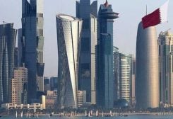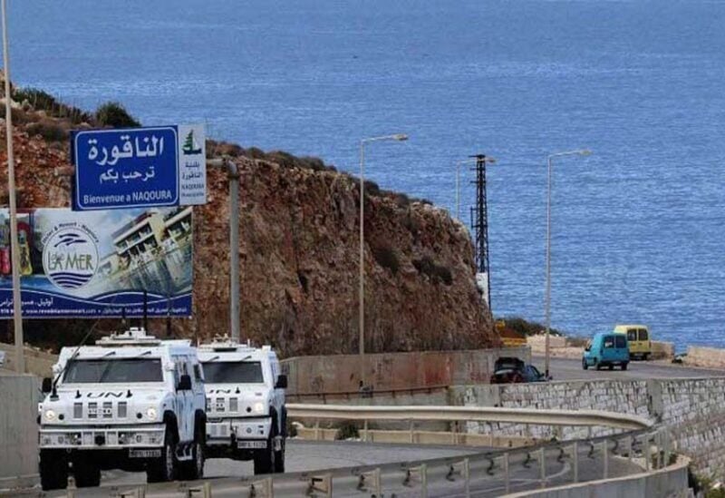
Naqoura border area
AS Western diplomatic sources confirm to “Sawt Beirut International” that the American mediator, Amos Hochstein, will arrive in Beirut on Sunday, Lebanon must decide its stance regarding its maritime borders, because this decision determines whether the Karish field that Israel is preparing to drill inside to extract gas and oil, is a disputed area, or an area belonging to the Lebanese territorial waters, or Lebanon has abandoned defending it within the framework of its dropping the 29th line border, which it considered only a negotiating line, and that it realizes that it will only obtain water within the 23rd line.
Therefore, and according to what the diplomatic sources told “Sawt Beirut International,”Lebanon must inform the United Nations of its borders as soon as possible, and clarify the fate of Decree 6433 amendment, which gives Lebanon only 860 km. In other words, the state should not continue to keep the matter suspended because the US efforts will take into considration Lebanon’s stance, as long as it is scientific and based on international law.
Consequently, it is assumed that the Lebanese stance should be apart from the political deals, through which the wealth of the Lebanese people are wasted, not to mention that it will a high treason in the constitution.
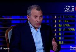
Strategic expert, Dr. Nabil Khalifa, told “Sawt Beirut International”, that the agreement between Lebanon and Cyprus on the sharing of water was a mistake, as scholars of maritime law say that it is rights and power that determine the borders of states.
He pointed out that defining the borders begins with defining the median line that separates the exclusive economic zone of Lebanon off the Lebanese coast from the similar areas of neighboring countries. Off the coast of Lebanon there are 330 km, and between Lebanon and Cyprus there is 200 km, which if divided, means 100 km for Lebanon and 100 km for Cyprus, and the line between them is called the center line. That is why they call it the middle line of the sea’s breadth, because it divides the sea in half.
If convergence line starts from Ras Al-Naqoura Perpendicular on the center line, this means that this line is the maritime border line, that separates Lebanon and Israel, and the front of Lebanon is on the center line. The point where the two lines meet is called Point 61. The maps say that the front of Lebanon is 61 percent of the length of the median line. While the front of Israel is 39 percent of it. This is all according to the international law of the sea. Noting that the center line, ie the entire waterfront line, is 309 km long, of which 188.5 km from north to south Lebanon, and 120.5 km is the front of Israel.
There are those who demand the line 29, out of a national and emotional achievement. But the line must be taken according to what international law says, and the 23rd line is a mistake because of what was previously identified with Cyprus. So this is how Lebanon’s maritime borders are defined.


 Sueraya Shaheen